
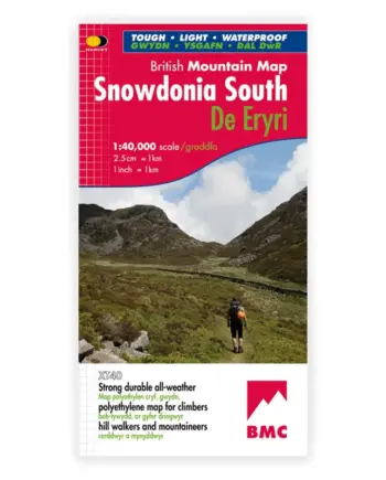
Description
Harvey British Mountain Maps are designed specifically for hillwalkers, climbers and mountaineers in conjunction with the British Mountaineering Council (BMC). This map covers Dartmoor. Printed on waterproof and tear-resistant polyethylene, British Mountain Maps are less than half the weight of laminated maps. The map area is printed all on one side for ease of use with colour shading for easy hill and valley identification in the clag, plus detailed crag info for climbers trying to find base of the route. The back of the map contains navigation tips, Mountain Rescue and first aid advice, useful local info and a geological map of the area designed by the British Geological Survey.

Reviews
There are no reviews yet.